
Plan your stop
Useful details
On Key West, at MM 0–4
Edward B. Knight Pier sits in Key West (Key West, MM 0–4). The southernmost city: historic streets, major attractions, transit connections and the departure point for Dry Tortugas. This listing is for launch planning—trailer parking, depth, resident rules and a backup ramp matter more than a pin.
Other public boat ramps & docks listings currently published on Key West include Conch Harbor Marina, Emma Carrero Cates Pier, Key West City Marina at Garrison Bight. Compare them on the island or category hub rather than assuming this pin is the only option.
What this record includes
- Directory category
- Public Boat Ramps & Docks
- Island area
- Key West (Key West, MM 0–4)
- Mapped as
- mapped pier
- Coordinates
- 24.546321, -81.783902
- Source
- OpenStreetMap contributors
Confirm before you go
- Current hours, closures, fees and access rules on the linked source
- Whether the location is public, customer-only, resident-only or temporarily closed
- A working phone number — none is published on this listing
- Today’s hours — this directory does not invent opening times
- A street address if you are navigating without GPS coordinates
- Trailer parking, ramp depth, tide and non-resident rules before towing
- Anything not present as a mapped tag — OSM is a map, not a live business profile
- No ratings or “best of” rank — KeysCompass does not invent scores
How to use this listing
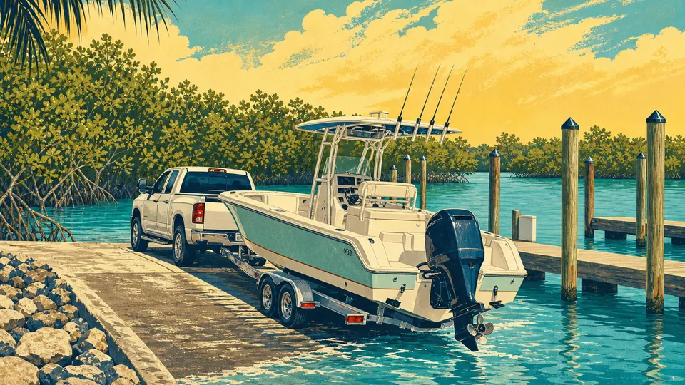
Edward B. Knight Pier is listed as a mapped pier in Key West (Key West, MM 0–4). A mapped ramp is not a promise of trailer parking, depth, hours or non-resident access.
Match the vessel and tide to the facility before you hitch up. Monroe County and park ramps publish resident and parking rules on their own pages; OSM pins do not. Save a second legal launch in the same region in the trip planner, and do not park on residential shoulders if the lot is full.
No extra amenity tags were published on this record. Open the source link to check current amenities, access and service details rather than assuming they exist.
Edward B. Knight Pier is published from OpenStreetMap contributors (OpenStreetMap contributors). Mapped names, coordinates and tags can lag real-world changes. KeysCompass does not scrape reviews or invent phones, hours, prices or ratings to fill empty fields. Use the OSM object and any official site to confirm before a special trip. Last reviewed on Jul 16, 2026 using OpenStreetMap contributors.
Business owner or traveler? Report an update →Claim or feature this listing →Featured placements are labeled sponsorships. They do not buy organic directory rank.